
· Travel · 5 min read
Draa Valley Morocco: Driving the 200 km Palm Oasis
Draa Valley Morocco explained: the 200 km palm oasis from Agdz to Zagora and M'Hamid, the kasbah road, the dates and how to drive it.
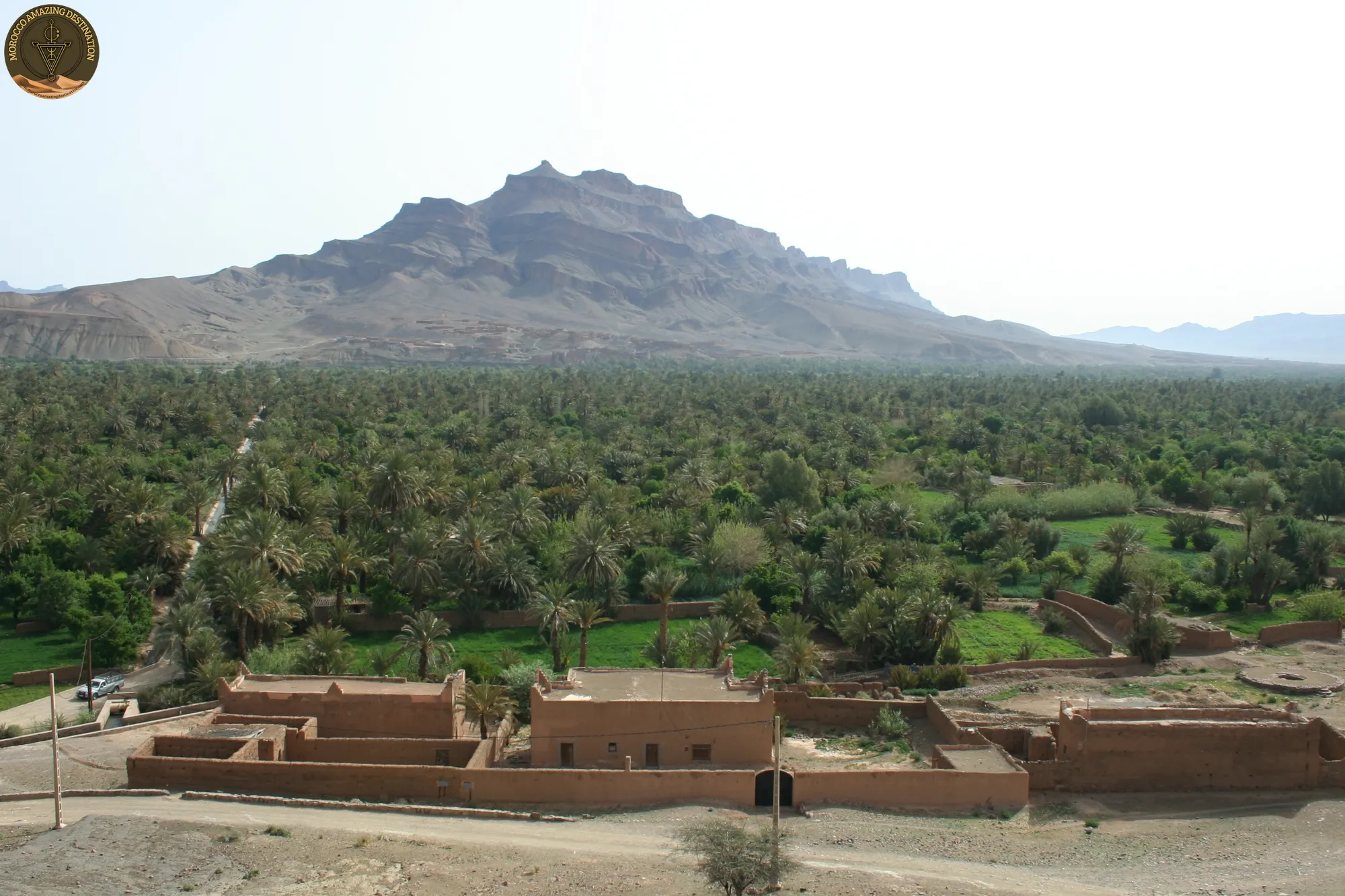
South of Ouarzazate the road drops into a green corridor that runs for 200 km between bare mountains and the Sahara. Draa Valley Morocco is that corridor. Six palm oases run from Agdz through Zagora to M’Hamid El Ghizlane, with tarmac beside them almost the whole way. The river that feeds it is 1,100 km long, the longest in Morocco, and runs dry below Tagounite most of the year.
In this guide, we will break down the drive over the Tizi n’Tinififft, the oasis road to M’Hamid, the date gardens, and the Dades alternative.
The Drâa Valley - Morocco’s Longest River in the Desert
The Draa begins in the High Atlas and is already a managed river by the time it crosses the desert. The Dades and the Imini meet at the El Mansour Eddahbi reservoir east of Ouarzazate. The dam holds back the silt floods that used to rebuild the valley floor each spring.
The stretch travellers mean by the name is the middle course: a palm oasis about 200 km long. It is built from six named oases, separated by short rocky narrowings.
- Mezguita: the groves around Agdz, where the corridor opens.
- Tinzouline: palms and ksour on the road south of Agdz.
- Ternata: the oasis that wraps around Zagora.
- Fezouata: the densest palm walls, just below Zagora.
- Ktaoua: the groves at Tagounite.
- M’Hamid: the last palms before the sand.
From a car the valley looks emptier than it is: the canopy hides the plots, the channels and most village life.
From Ouarzazate Over the Tizi n’Tinififft to Agdz
Ouarzazate holds the last full set of services before the valley: fuel, an airport, a supermarket, and Kasbah Taourirt behind its ochre walls. Journeys from Marrakech arrive here over the Tizi n’Tichka, and the Agdz road leaves from the eastern edge of the city.
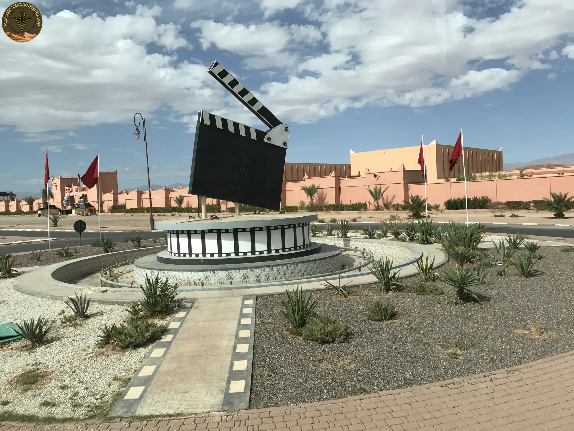
The Tizi n’Tinififft tops out around 1,660 m, with the Anti-Atlas ahead and the first palms somewhere below. The descent is short. Everything beyond the pass sits in the rain shadow of the massif. Rain stops on the Atlas above, so the valley stays dry.
Agdz is 65 km from Ouarzazate, about an hour, at 942 m under Jbel Kissane. The name means “place of rest”, which is what the town was for caravans coming up from the south. It has fuel, a few cafés and the kasbah of Tamnougalt a short detour off the main road. Our Agdz guide covers the palm oasis, Tamnougalt and the viewpoint above town.
The Oasis Road - Agdz to Zagora and On to M’Hamid
South of Agdz the N9 settles onto the valley floor and the oasis closes in on both sides. The 92 km to Zagora takes about 1 h 30 without stops. This is the greenest stretch of the whole corridor: palm walls, irrigation channels and earthen ksour within a few metres of the verge.
If you are weighing up things to do in the draa valley, most of the answer sits along this road.
- Tamnougalt: a kasbah and walled ksar a short detour above Agdz.
- Tansikht and Tinzouline: small villages and ksour between the palm walls.
- Zagora: the last town with fuel, banks and a working market.
- Tagounite: the Ktaoua oasis, where the palms begin to thin.
- M’Hamid El Ghizlane: the end of the sealed road, about 500 m up and 24 km from the Algerian border.
Past Zagora the character changes. About 100 km of open road separates the town from M’Hamid, tamarisk replaces palm, and the last hour crosses bare gravel. The surface holds the whole way, so an ordinary car manages it. Our Zagora guide covers the town itself, and Nkob and its kasbah quarter covers the village east of the valley.
Dates, Seguias and the Working Life of the Palm Groves
A palm grove is a garden with a roof. Dates grow at the top, pomegranates and vegetables sit in the shade below. Everything depends on water arriving at the right hour.
The draa valley palm oasis is pollinated by hand. In spring a grower climbs each tree to tie the male flower into the female cluster. The fruit ripens from late summer into autumn.
Water arrives through seguia channels cut along the garden edges. Where the water table allows, it comes through khettara as well, underground galleries that tap the aquifer further uphill. A nuba system rotates the flow between families by the hour or the day.
Both systems are under strain. The reservoir upstream traps the silt that once renewed the soil, and the water table has fallen. Dates from the groves still reach the souks in Zagora and Ouarzazate, and a few cooperatives sell direct from the garden.
Driving the Draa Valley - Distances and the Dades Alternative
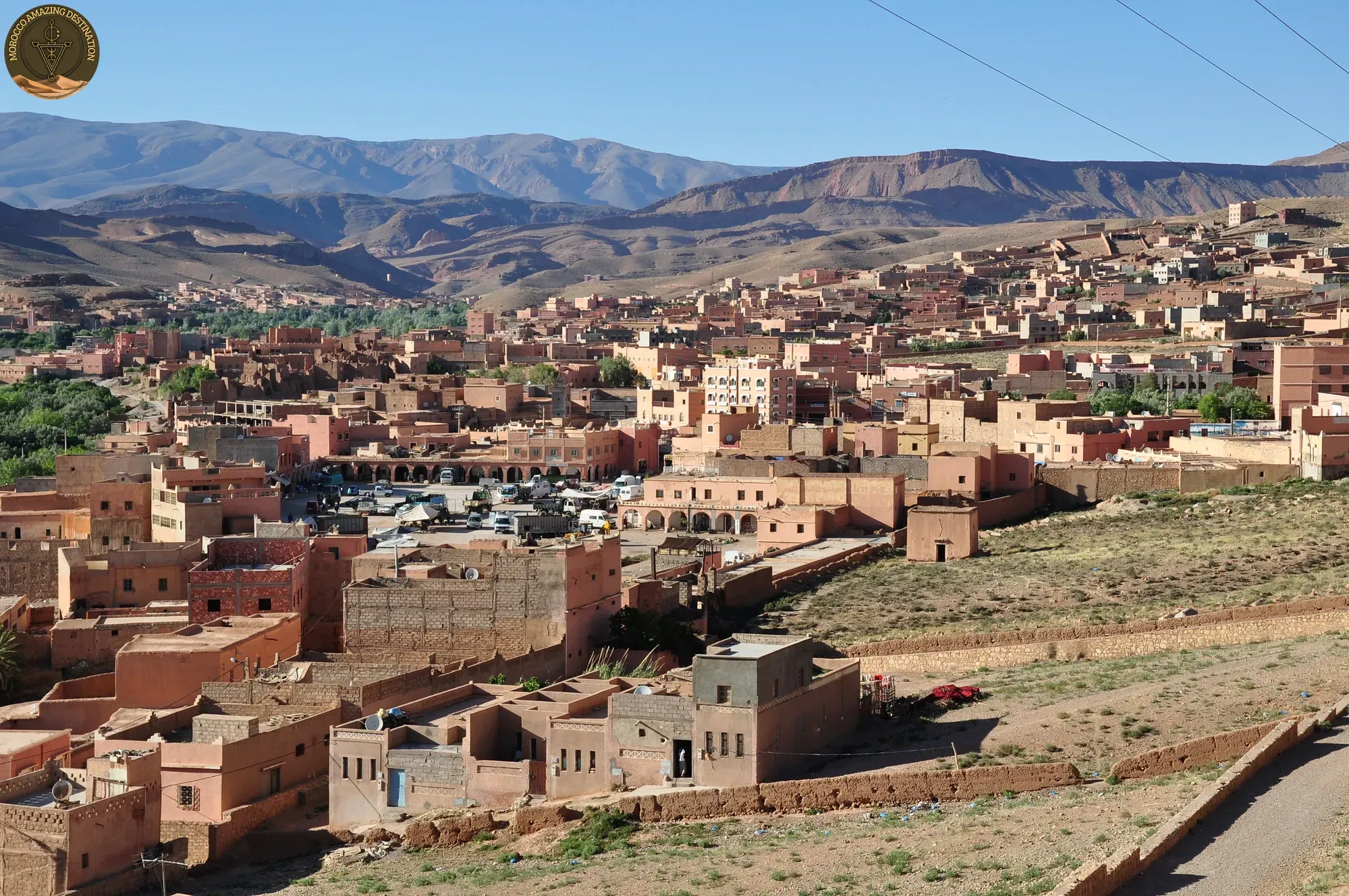
A draa valley road trip works as one long southbound day or as a two-day loop with a night in the oasis. Distances are modest and the surface is good, so the drive is never the hard part.
- Ouarzazate to Agdz: 65 km, about an hour over the Tizi n’Tinififft.
- Agdz to Zagora: 92 km, roughly 1 h 30 through the groves.
- Zagora to M’Hamid: about 100 km on open road.
- Ouarzazate to M’Hamid: 260 km end to end.
- Marrakech to Zagora: about 350 km, 6 to 7 hours over the Tizi n’Tichka.
Past M’Hamid the tarmac stops. Erg Chigaga lies 50-60 km out and needs a 4x4 with a local driver.
The Dades road out of Ouarzazate is the quicker line to the Todra Gorge and the Merzouga dunes. The Draa is longer, quieter and finishes at Chigaga. Choose the Draa for ksour, dates and empty road, the Dades for big sand.
Both corridors run well with a private driver-guide, who handles the pass, the groves and the timing. Our 3-Day Trip from Marrakech to Merzouga crosses the Draa on the way south and stops in Zagora. The 10-Day Morocco Tour from Marrakech gives the valley a full day.
We can customize a tour to match your needs - design your perfect itinerary
If you found this helpful, add us as your preferred source on Google.
Frequently Asked Questions
How long is the Draa Valley, and where does it begin and end?
The oasis corridor runs about 200 km, from Agdz in the north to M'Hamid El Ghizlane in the south. The river itself is 1,100 km long, Morocco's longest, but only this middle stretch carries the continuous palm groves most people mean by the name.
Do you need a 4x4 to drive the Draa Valley?
No. The road is surfaced on the valley floor from Ouarzazate over the Tizi n'Tinififft to Agdz, Zagora and M'Hamid, so an ordinary car is fine. A 4x4 only matters beyond M'Hamid, where the sand tracks to Erg Chigaga begin.
When is the Draa Valley at its greenest?
The palms stay green all year because they are irrigated. The oasis looks fullest after the dates ripen, from late summer into autumn, when the fruit is on the trees and the gardens are still working. High summer is hot and winter mornings are cold in the shade of the groves.
Draa Valley or Dades Valley - which should you choose?
The Dades is the faster road toward the Todra Gorge and the Merzouga dunes. The Draa is the longer, emptier route of dates and ksour that ends at M'Hamid and Erg Chigaga. Take the Draa for ksour, dates and quiet; take the Dades if big sand is the point of the trip.
Ready for an Adventure?
Have questions? Feel free to contact us using the form below. We're here to help!