
· Travel · 6 min read
Off Grid Morocco: Where Your Signal Actually Drops
Off grid Morocco, mapped by locals: Imlil gîtes, Erg Chigaga dunes, Atlantic surf villages and the Draa, plus how to plan a quiet route.
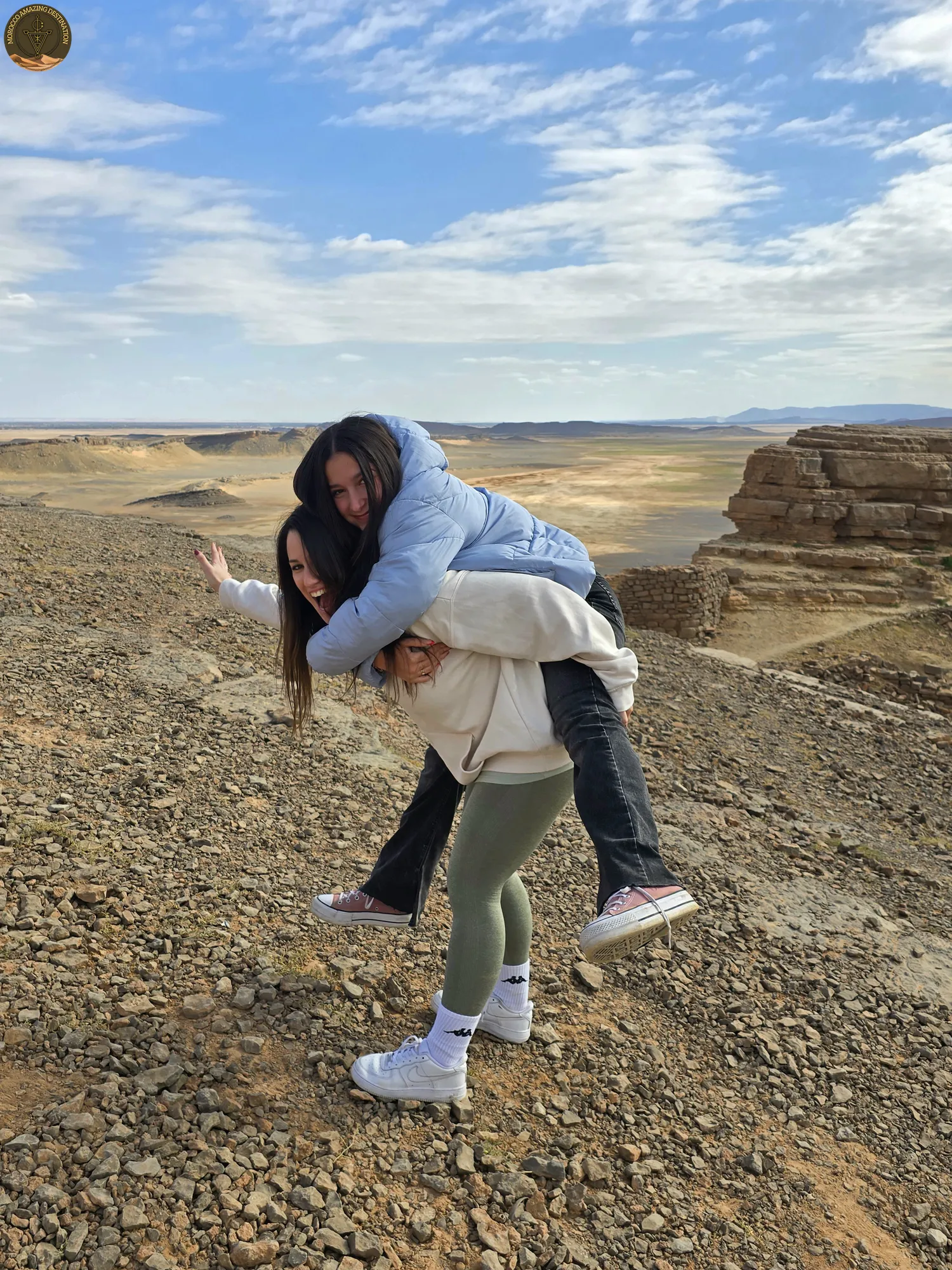
Morocco has a habit of handing you a road that keeps going after the map ends. Ninety minutes south of Marrakech the tarmac runs out in a village of stone houses, and past that point the valley continues on foot. That is what off grid Morocco means in practice: the phone loses its bars and nobody expects an email back.
Most of it comes down to where the road stops. Signal holds in towns and larger villages, fades on mountain passes, along the Draa, and beyond M’Hamid, where the last 40 to 60 km to Erg Chigaga are track. In this guide, we will break down where the bars disappear, how each region feels, and how to plan a quiet route that still works.
Imlil and the High Atlas - Where the Signal Fades
The road south from Marrakech climbs for about 65 km and 90 minutes, then stops in Imlil at roughly 1,740 m. Above the village the Toubkal valley narrows into a mule track, and traffic thins out above the last houses.
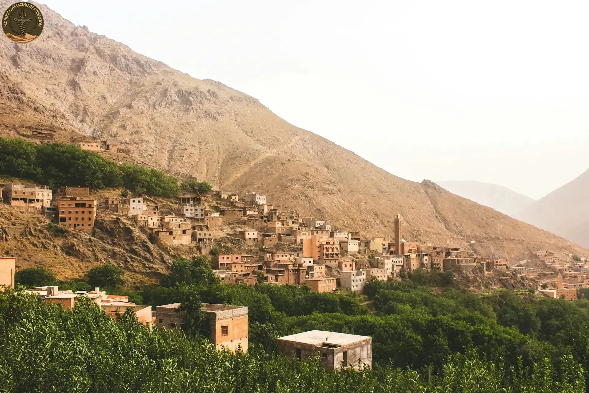
Beds here are in gîtes d’étape and small maisons d’hôtes. You get blankets, dinner and breakfast cooked in the house, and at best one shared router. Signal changes house by house in these valleys, so ask before you book if you need to be reachable.
The Azzaden side, with Tizi Oussem at about 1,850 m, stays emptier than the Toubkal trail, which fills by mid-morning. Ouirgane, 65 km from Marrakech at about 1,000 m, is the softer landing: a reservoir, walnut and olive terraces, gardens. Aim for March to May or September to November. December to February can put snow on the Tizi Mzik pass at 2,490 m.
Erg Chigaga and M’Hamid - The Deep Sahara
Everything south of Zagora funnels into M’Hamid El Ghizlane, 445 km and seven to eight hours from Marrakech, where the asphalt stops.
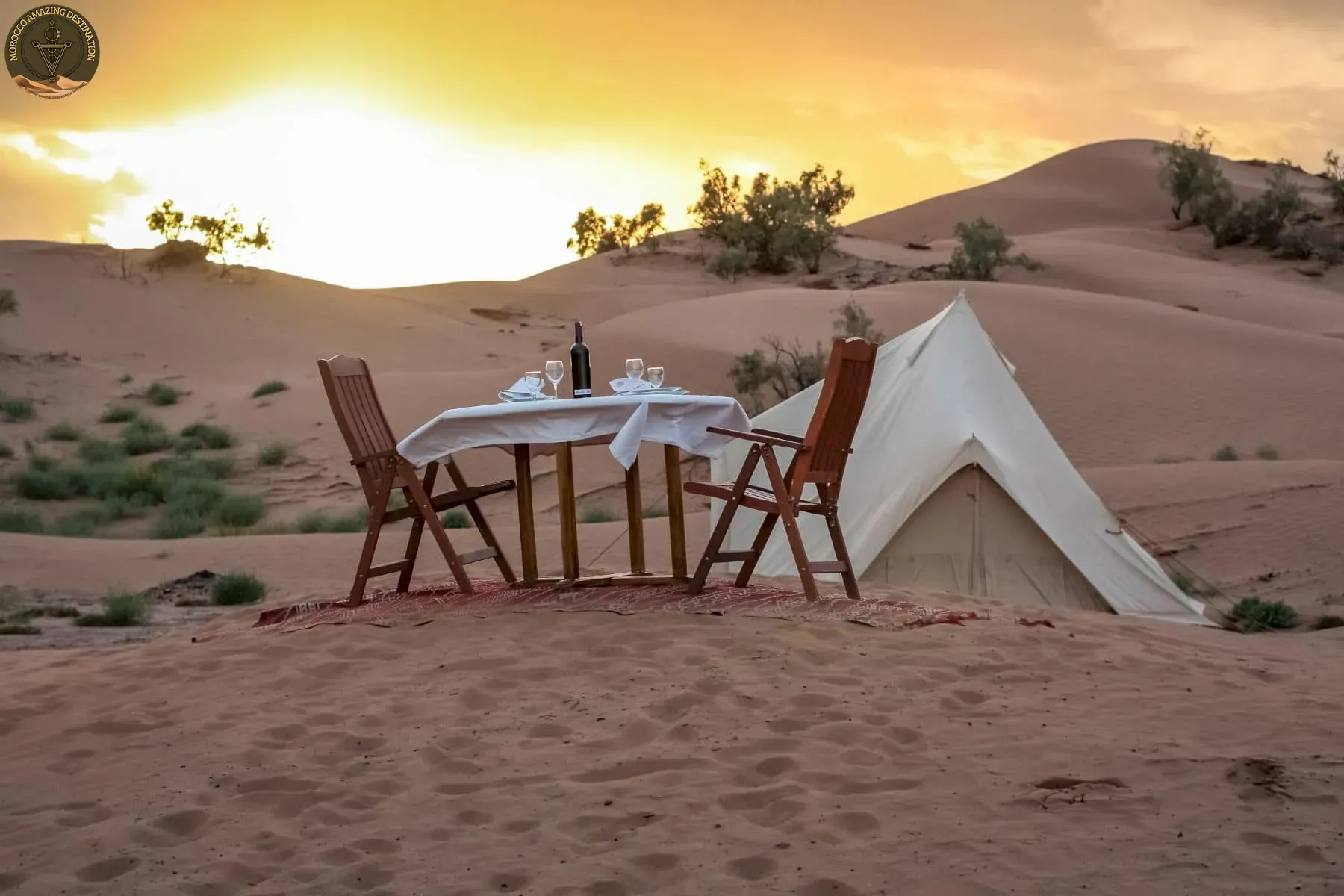
West of town the track runs 40 to 60 km to Erg Chigaga, two to three hours in low range. The dune field measures about 40 km by 15 km. Here, going off the grid in Morocco stops being a figure of speech: camps run on solar and generators go quiet after dinner.
What the last stretch looks like:
- The track: 40 to 60 km of soft sand, two to three hours by 4x4.
- Last services: M’Hamid holds the final fuel pump and cash machine.
- The night: solar power, dinner at a fixed hour, no bars on the phone.
October to April is the working season. July and August are brutal by day and still warm at night, and spring sandstorms can flatten a camp schedule. If you would rather sleep in a tent than in a fixed camp, our notes on wild camping in Morocco cover that choice.
Atlantic Villages - Sidi Kaouki and Imsouane
The coast is the gentlest version of the same idea. Sidi Kaouki sits 25 km and about half an hour south of Essaouira: one wide beach, a handful of small lodges, horse rides at low tide. Imsouane is a fishing harbour that happens to hold the Bay, a right-hander running 700 to 800 m on a good swell. It sits roughly 90 minutes from Essaouira and 80 to 90 km north of Agadir.
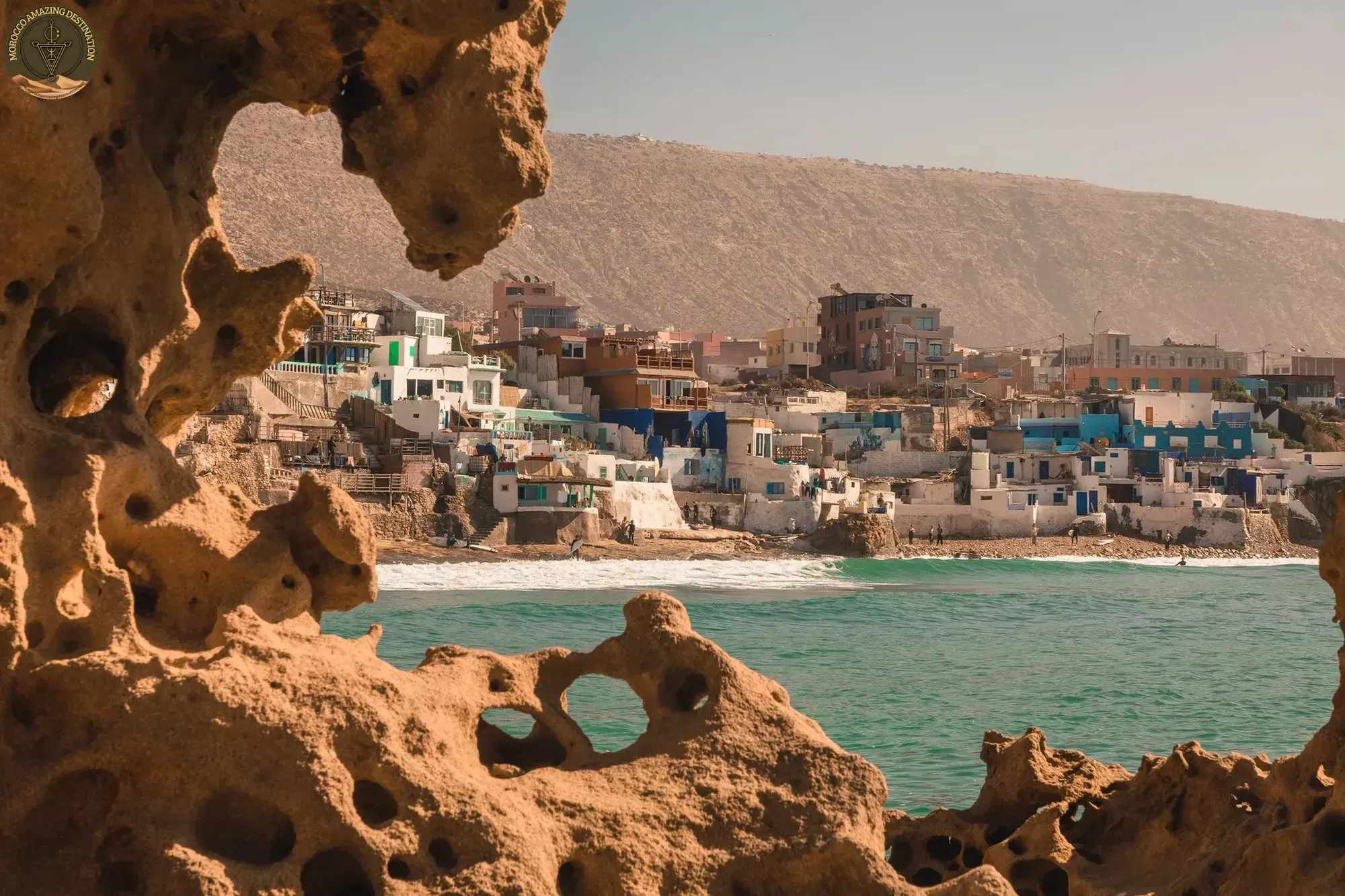
Internet works in both villages, and nobody treats it as the main event. Mornings start early with the surf and the boats, and lunch runs an hour over. The trade winds arrive in the afternoon from April to September, hardest in July and August.
Guests booking a digital detox Morocco week often land in one of these two villages, board under the arm and phone left charging indoors. Further south, Mirleft and Sidi Ifni keep the same pace with fewer people.
The Draa Valley and Zagora - Empty Tarmac
The Draa palm grove runs about 200 km from Agdz to M’Hamid, and it holds the emptiest driving in the south. Above Agdz, the Tamnougalt kasbah sits on the hillside over the oasis. Zagora, 100 km north of M’Hamid, keeps the painted sign that once measured the caravan road to Timbuktu at 52 days.
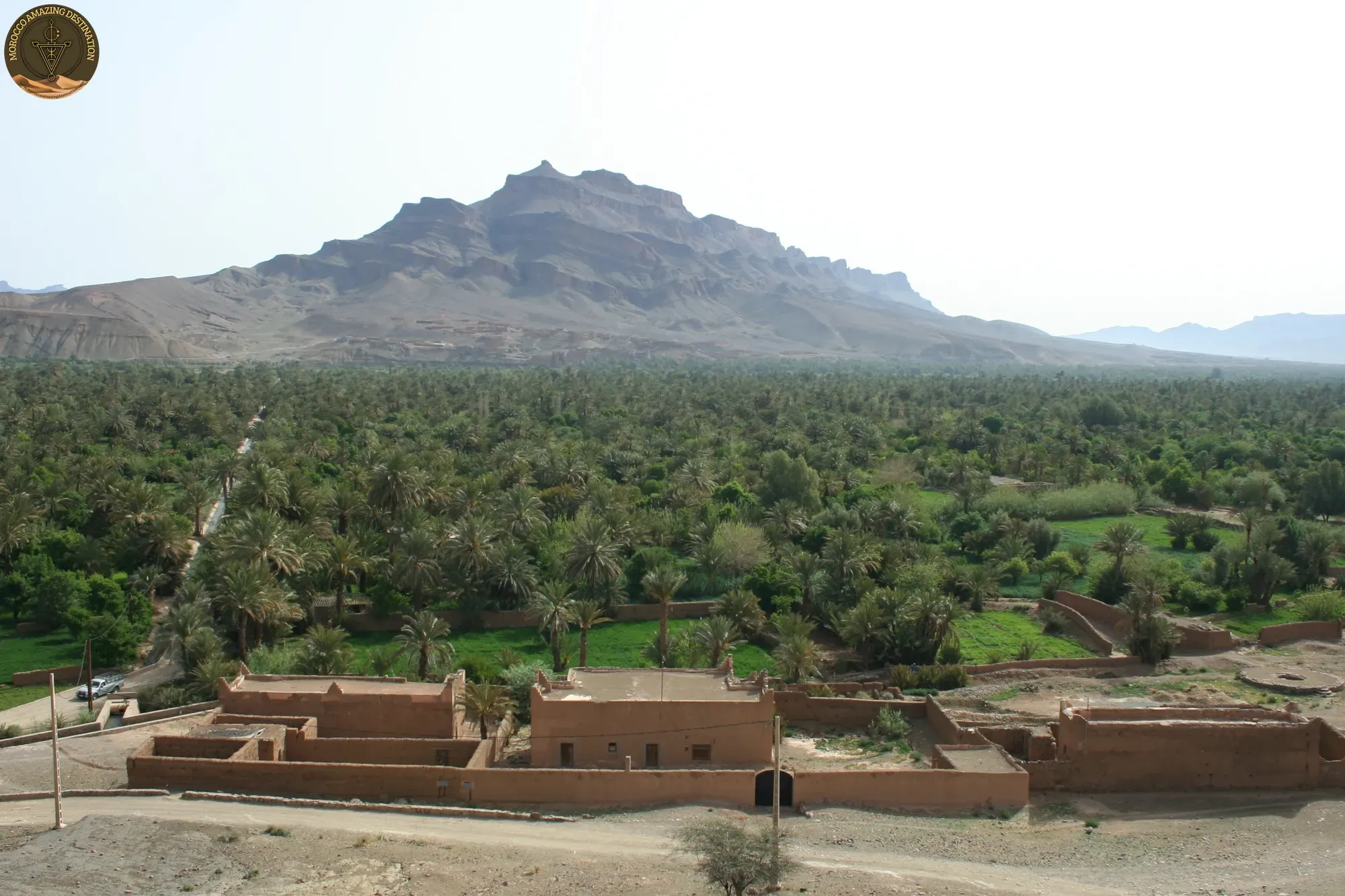
Coverage along this corridor comes and goes, and the Foum Zguid to M’Hamid track across Iriqui National Park is the other line south. It needs a 4x4 and a driver who knows the surface. Tafraoute, about three hours from Agadir, makes a base for the Anti-Atlas under the Ameln Valley. To the east, Jbel Saghro’s Amalou n’Mansour reaches 2,712 m.
These are the remote places in Morocco that suit a slow week, with long straight tarmac and kasbahs sitting above the palm groves. For more stops in the same register, read our guide to hidden gems in Morocco.
Planning a Low-Signal Route That Still Works
Three to four hours of driving a day keeps the trip enjoyable. Two regions per week is enough, whether you start in the Atlas or finish on the coast. Most places in this guide sit on paved roads and work in an ordinary car.
- Driver-guide: worth it on the Erg Chigaga track, the Iriqui crossing and anywhere you want local context.
- Rental cars: most contracts exclude unsealed tracks, so check before you commit.
- Season: choose months around heat and wind, not around crowds.
- Families: shorter drives and the coast first, then the desert if everyone is still keen.
A local driver also handles the language side once you leave the main road, which matters in small villages. Families usually do better with two or three hours behind the windscreen and something to look forward to at the end of the day.
Neither the Atlas nor the Sahara asks for a satellite phone or a month off work. Off grid Morocco fits into a normal week. It needs a route that matches your pace, a driver who knows the tracks, and a season when the heat is manageable.
Two of our itineraries cover this ground. The 8-Day Morocco Tour: Marrakech, Sahara and Essaouira links the Atlas, the desert and the coast. The 3-Day Agadir to Tafraoute, Sidi Ifni and Tiznit stays in the Anti-Atlas.
We can customize a tour to match your needs - design your perfect itinerary
If you found this helpful, add us as your preferred source on Google.
Frequently Asked Questions
Where does phone signal actually stop in Morocco?
Signal follows people, not scenery. Towns and larger villages on the Imlil road, along the Draa and on the Atlantic coast usually hold 3G or 4G, while passes, deep side valleys and everything beyond M'Hamid lose it. Expect a dead zone of two to three hours around Erg Chigaga and a patchy hour or two over the high passes.
Which region feels most off grid: the Atlas, the Sahara or the Atlantic?
The Sahara cuts deepest, with no bars at all beyond M'Hamid. The High Atlas is the easiest taste, ninety minutes from Marrakech, where a gîte in Imlil or the Azzaden valley gives you a bed and very little reason to check a screen. The Atlantic is the gentlest, with surf villages half an hour from Essaouira where the internet works but nobody hurries.
Can you reach these places without a guide or a 4x4?
Imlil, Ouirgane, Tafraoute, Zagora and the Atlantic villages all sit on paved roads and work in an ordinary car or with shared transport. Erg Chigaga does not: the last 40 to 60 km are soft track, and most rental contracts exclude unsealed routes. A local driver-guide covers both the track and the language.
How long should an off-grid route be, and when should you go?
Allow four to six days for two regions and seven or more to add the deep Sahara. March to May and September to November suit both the Atlas and the desert. July and August are harsh inland, while the Atlantic coast is windiest then but still very walkable.
Ready for an Adventure?
Have questions? Feel free to contact us using the form below. We're here to help!