· Travel · 4 min read
Merzouga, Morocco: Sahara Village, Dunes & How to Arrive
Merzouga is the Sahara village at the foot of Erg Chebbi. Here is where it sits, what the dunes look like, and how to get there.
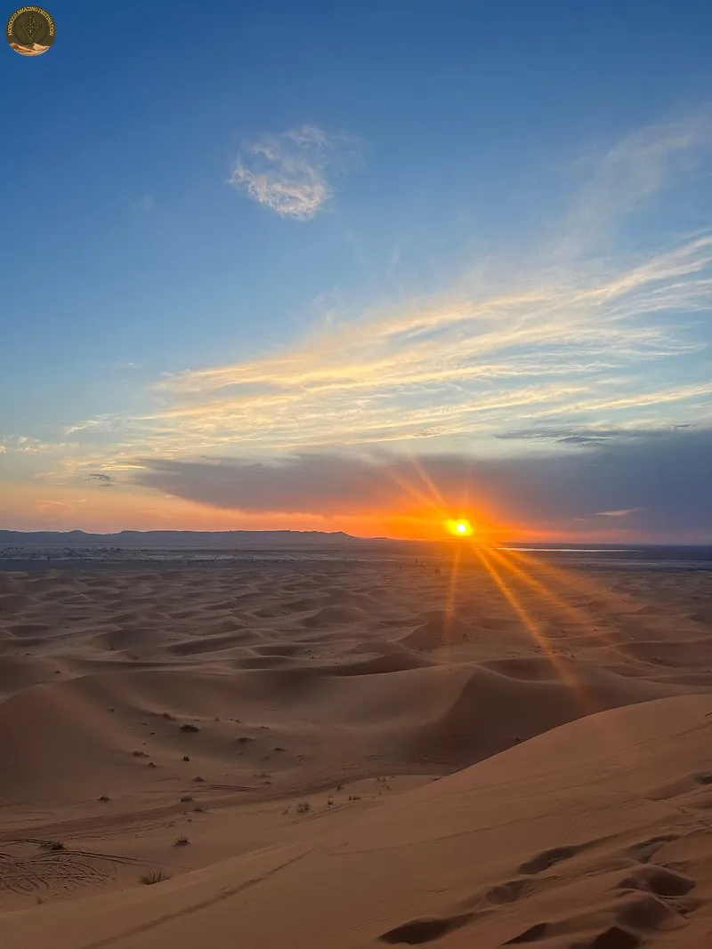
Merzouga is the Sahara village most travellers picture when they imagine a night among the dunes. It sits in Errachidia Province, in the Drâa-Tafilalet region of south-east Morocco, about 730 m above sea level and roughly 35 km from the closed Algerian border. The village is compact and walkable, and it exists because the sand stops there.
In this guide, we will break down where Merzouga sits, what the dunes look like and how to plan a hassle-free visit.
Where Is Merzouga, Morocco?
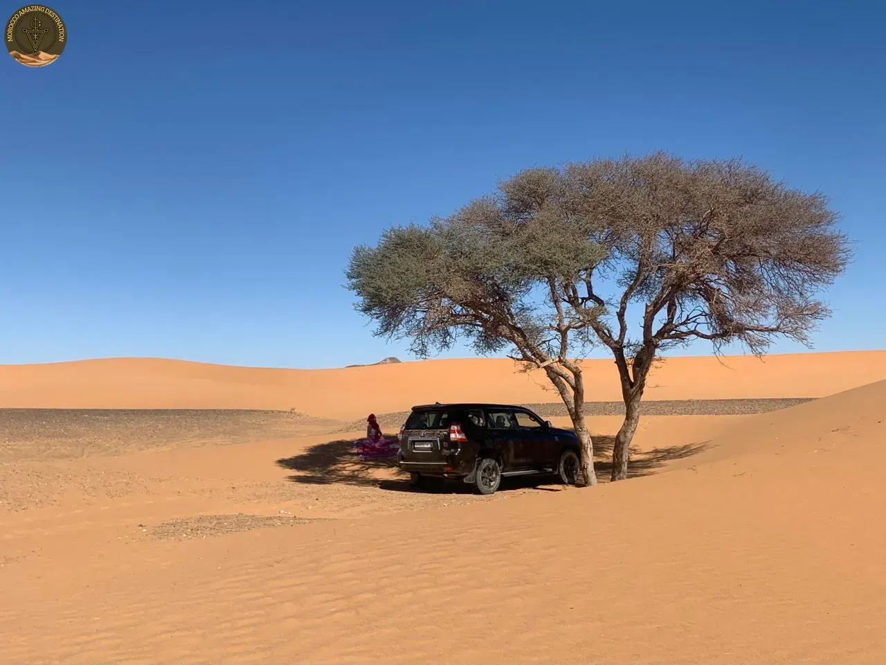
Merzouga, Morocco sits in the far south-east of the country, in Errachidia Province within the Drâa-Tafilalet region. The closed Algerian frontier lies about 35 km east, which keeps the area small and quiet.
The setting is desert-continental: hot dry days, cold winter nights and little rain. To the west the land flattens into black hamada and gravel; to the east the dunes rise without warning.
Merzouga is the service hub for the dune area, with cafés, small shops, guesthouses and camps along a short main street. The neighbouring douars are quieter, with palm gardens running to the foot of the sand.
Merzouga Desert and the Erg Chebbi Dunes
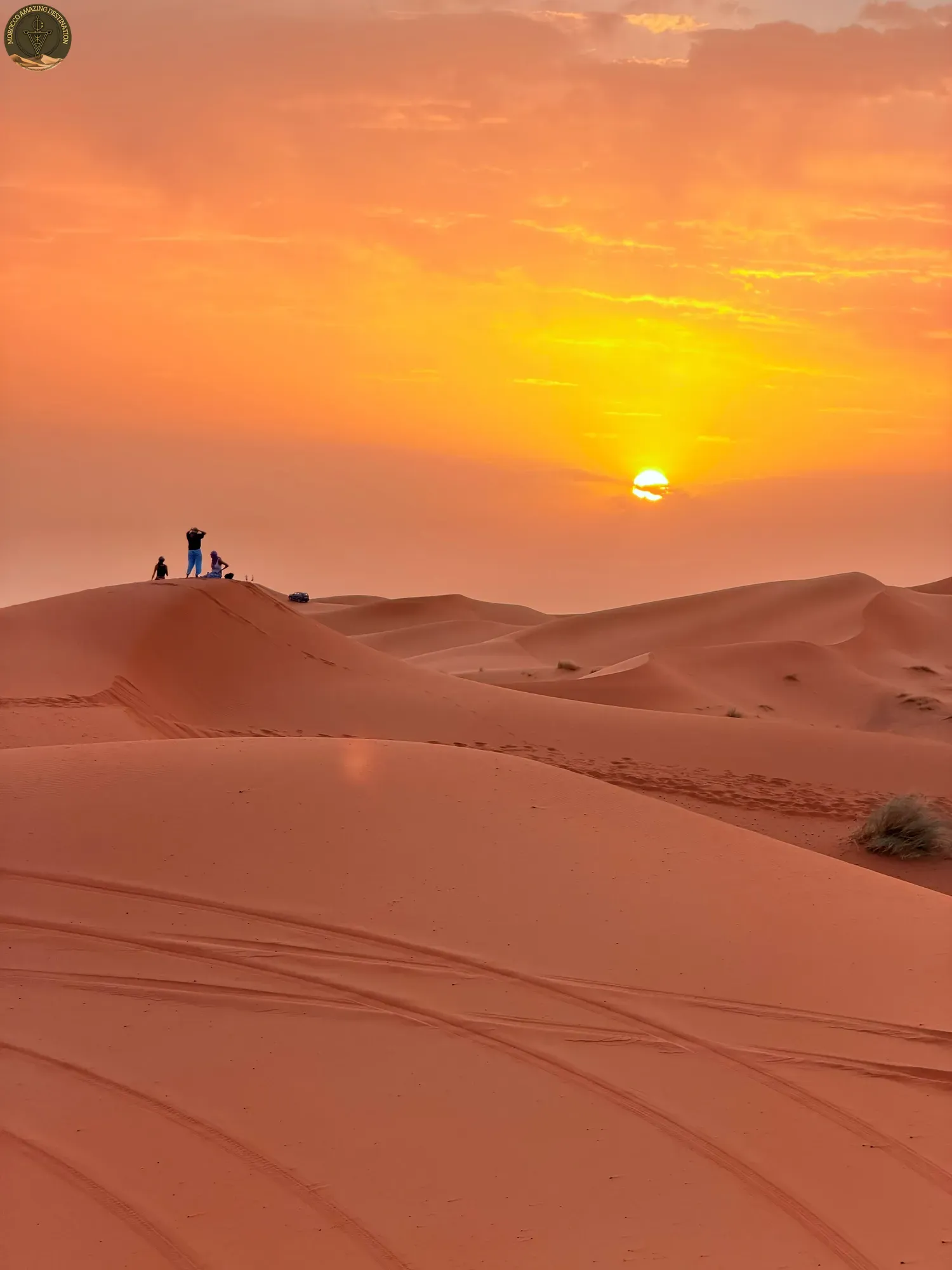
The Merzouga desert is the landscape around the village, and it is not all sand. Erg Chebbi, the dune sea that put Merzouga on the map, stretches roughly 28 km from north to south and is 5 to 7 km wide. Its crests rise about 150 m above the rocky ground.
Away from the sand, the ground turns to black hamada, a hard stony plateau that makes the orange crests look brighter. West of the village, Dayet Srji is a seasonal salt lake that draws flamingos and migratory birds when it holds water.
The dunes change through the day and with the weather:
- Time of day: early morning and late afternoon bring long shadows and deep colour.
- Wind: gusts reshape the crests overnight.
- Rain: after a rare shower the sand darkens and Dayet Srji may fill again.
Merzouga Village, Hassilabied and Khamlia
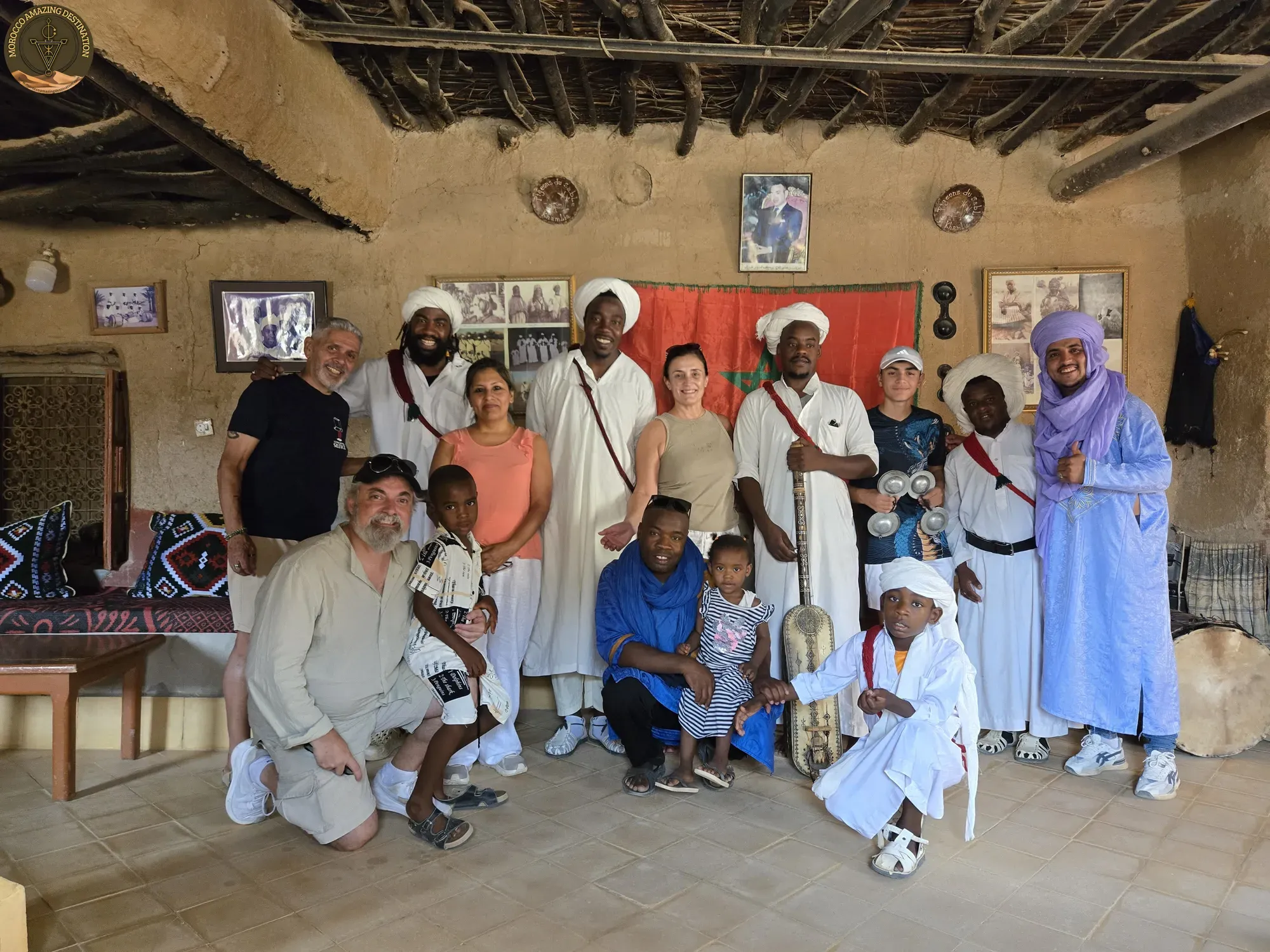
Merzouga is the commercial centre, but the area is a cluster of small communities. Most visitors stay in the village and never realise how much sits nearby.
- Hassilabied: about 4–5 km north at roughly 710 m, a quieter douar whose gardens touch the sand.
- Khamlia: about 7 km south, home to around 390 Gnawa residents descended from sub-Saharan Africa.
- Rissani: about 40 km away, beside the historic Sijilmasa site, with a souk three days a week.
- Erfoud: about 55 km away, known for fossils and dates.
Khamlia is the village most travellers remember, where Gnawa families keep a music tradition rooted in sub-Saharan Africa. Dates are the region’s signature crop, so the palm groves stay green long after the hamada turns grey.
How to Get to Merzouga and When to Go
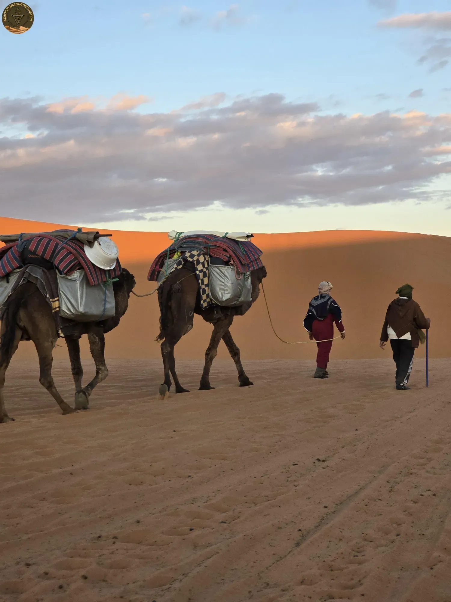
How to get to Merzouga shapes every itinerary, because the village sits far from the big cities. The distances are long, so most travellers split the approach over one or two days.
- From Marrakech: about 560 km and 9–10 hours, past Ait Benhaddou, the Dades Valley and Todra Gorge.
- From Fes: about 465 km and 7–8 hours, through the Middle Atlas and down the Ziz Valley.
- From Ouarzazate: about 360 km and 5–6 hours.
- By air: Errachidia’s Moulay Ali Cherif airport sits roughly 130 km away, about 2 to 2.5 hours by road.
We cover both main drives in our guides to the Marrakech to Merzouga driving time and the Fes to Merzouga driving time.
Timing matters as much as distance. March to May and September to November bring warm days and cool nights. Winter days stay mild at about 18–24 °C, but nights fall to 0–8 °C. Summer is punishing at 40–45 °C, so outings move to early morning and late afternoon.
Plan Your Merzouga Journey
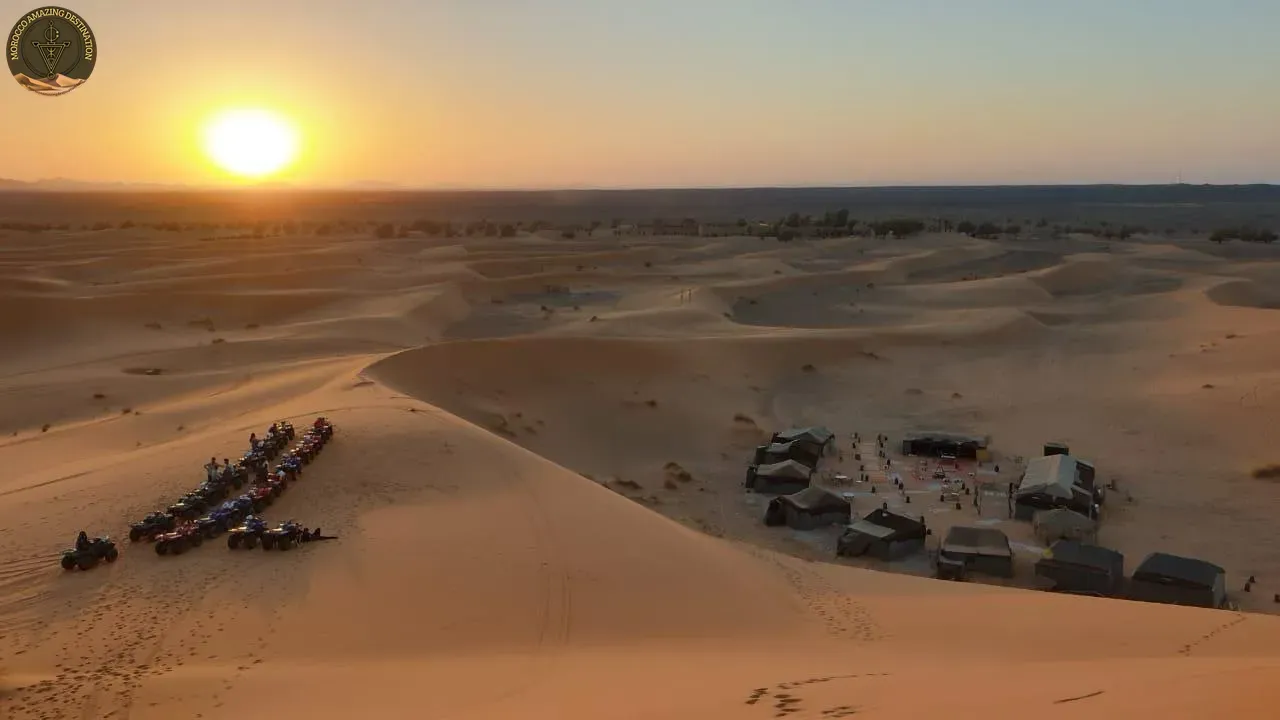
Merzouga rewards travellers who slow down. Two nights let you catch the dunes at dawn, meet a family in Khamlia and drive back without rushing. A private, tailor-made trip keeps the long approach simple, with fixed times and a driver who knows the road.
If you want to compare bookable options first, our Merzouga tours and Merzouga activities guides cover the routes and what you can do on the sand.
Coming from the north, our 2-Day Desert Tour from Fes to Merzouga crosses the Middle Atlas and the Ziz Valley before the dunes. From Marrakech, our 5-Day Trip from Marrakech to Merzouga adds the Atlas passes, Ait Benhaddou and Todra Gorge.
We can customize a tour to match your needs — design your perfect itinerary
If you found this helpful, add us as your preferred source on Google.
Frequently Asked Questions
Where is Merzouga in Morocco?
Merzouga sits in Errachidia Province, in the Drâa-Tafilalet region of south-east Morocco, about 730 m above sea level. The village stands on the western edge of the Erg Chebbi dune sea, roughly 35 km from the closed Algerian border.
How do you get to Merzouga?
Most travellers arrive by private transfer. It is about 560 km and 9-10 hours from Marrakech, or 465 km and 7-8 hours from Fes, so the drive is usually split over one or two days.
What is the best time to visit Merzouga?
March to May and September to November are the best months, with warm days and cool nights. Winter days are mild at around 18-24 °C, but nights drop to 0-8 °C, while summer reaches 40-45 °C.
How many nights should you spend in Merzouga?
Two nights suit most trips. One night covers the dune camp experience, while a second adds the dunes at dawn, Khamlia and Rissani without rushing the drive home.
Ready for an Adventure?
Have questions? Feel free to contact us using the form below. We're here to help!